 |
|
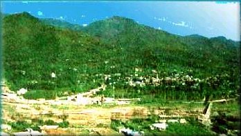
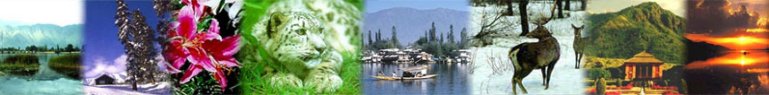
Bagh District District Bagh was carved out of District Poonch in 1988. The district shares its borders with Muzaffarabad in the north, with Poonch district in the south, with Baramulla (occupied Kashmir) in the east and is bounded to Pakistan in the west. Total area of the district is 1368 square kilometers. Total population of the district according to 1998 census stands at 395000, which is estimated to be 404,000 according to 1999 projections. The district is divided into 3 tehsils. Bagh district is linked to Muzaffarabad by two roads, one via Sudhan Gali (80Km) and the other through Kohala (97Km). It is situated 46Km from Rawalakot. The district is well known for its confectionery and bakery products. Dhirkote Situated at 1676m above see level, Dhirkote is a fascinating and charming place located 24Km from Kohala. Dhirkote possesses an extremely pleasant and healthy climate. The place is very popular for its beautiful landscape with Deodar and Kail forests.
Neela
Butt
Ganga
Choti.
Las
Danna Area
1368 Square Kilometers
|
||||||||||||||||||||||||||||||||||||||||||||||||||||||||||